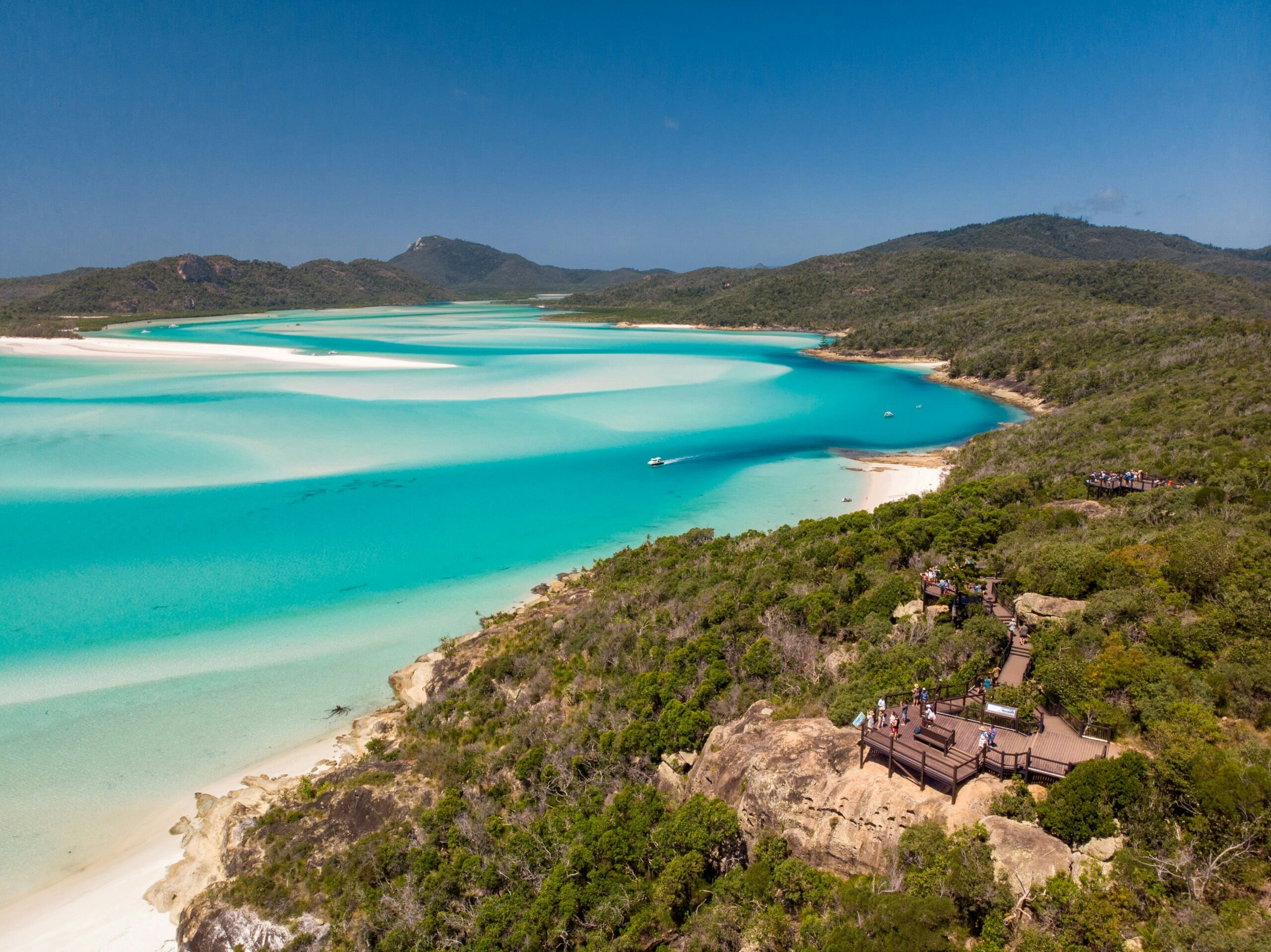
Explore Whitehaven Beach Tours

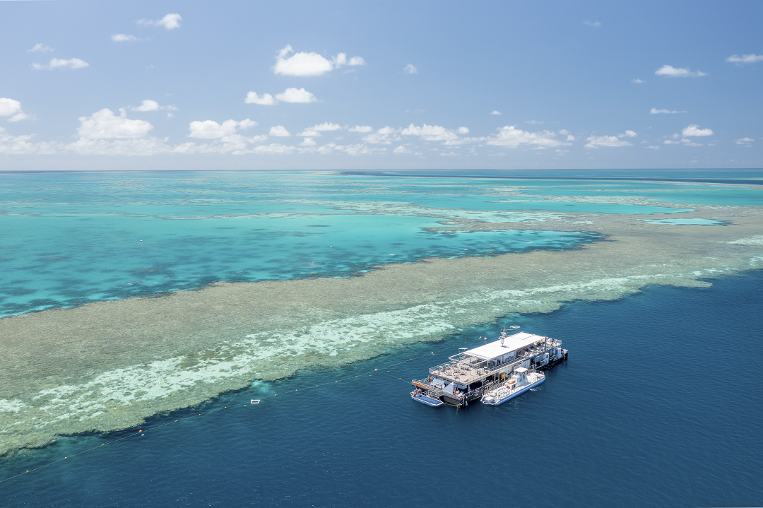
Discover our Great Barrier Reef Tours

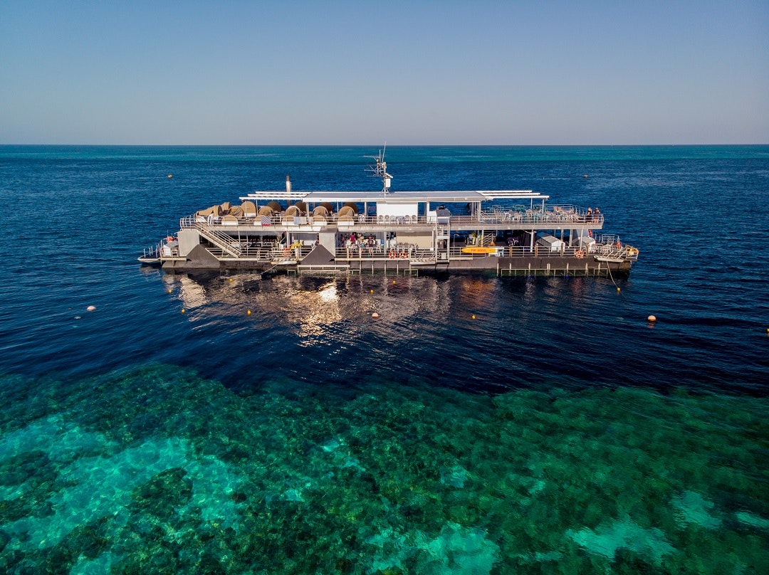
Enjoy a unique Reefstay with us
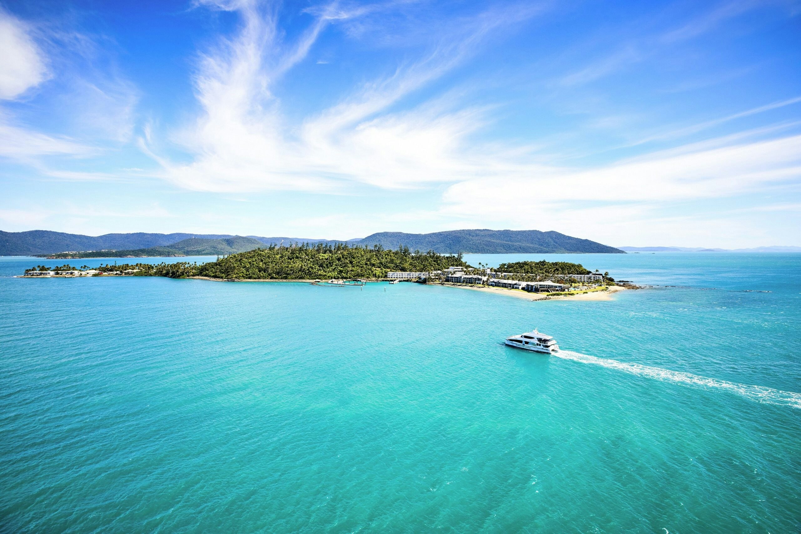
Daydream Island Escape